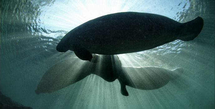
Mapping Conservation For Marine Mammals


Success in conserving marine animals depends largely on good maps, especially when conservation funds are limited. Making a “good map” is fraught with difficulties though. A lack of information about where species live and thrive, differences in strategic approaches (e.g., whether to focus on individual species or on areas with an overlap of different species), and building data models are all challenges that conservationists face as they map their work.
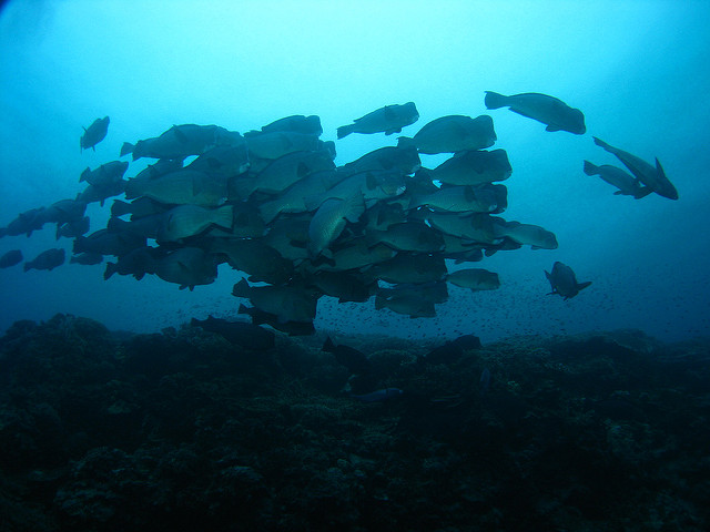
Most conservation agencies have had to rely on “range maps” when it comes to decisions about marine mammal protection. Range maps usually consist of large shapes created by connecting a small number of known locations of a species. This can misrepresent distribution boundaries and imply the same population density of a species throughout an area. There are maps that are clearer than range maps about each species’ core habitats (areas of highest density) and locations of species richness (areas with the highest number of species).
This study illustrates that there are still technical and strategic decisions to make even when density estimates of marine animals are available. The authors used a rich data set from British Columbia, Canada. Here, researchers collected observational data in a relatively systematic way. The researchers compared the effect of different types of data input such as range maps, distribution maps (showing specific areas most suitable for individual species), and density maps (based on a measured or modeled abundance of a species).
Using modeling methods well known to the field, the authors ran 100 simulated solutions in which they changed the balance between different data sets. They found that the areas identified for protection varied dramatically depending on the input and weighting. Their results support the importance of including density of mammal occurrence when identifying priority sites for marine mammal protection. If actual observation data are not available, the authors recommend creating distribution maps based on expert opinion. They also recommend using statistical models to generate density maps.
The authors note that the 2012 United Nations Biodiversity Conference in Hyderabad, India, emphasized the need to focus on “biodiversity-rich” marine areas. But, as this study shows, in the British Columbia region at least, there is very little overlap in core habitats among the 11 observed marine mammal species. While the authors support efforts to protect bio-diverse areas, their analyses strongly suggest that the protection of core habitats represents a more meaningful starting point.
Citations:
Williams, Rob, et al. (2014). Prioritizing Global Marine Mammal Habitats Using Density Maps In Place Of Range Maps. Ecography 37(3). 212-220.